Trails guaranteed to give you a natural high

Four free route downloads that take right to the very top of things in Exmoor, Yorkshire Dales, Scotland and Snowdonia.
Cadair Idris, Snowdonia
23km (14 miles)
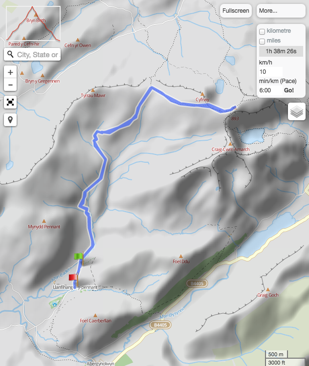
Snowdon’s southern brother and a great mountain-top outing, which for the majority of the ascent/descent isn’t too technical. It’s an out and back, but this never seems to detract from the experience. Kick off at Llanfihangel-y-Pennant (Landranger 124/SH672089), and take the lane N — it eventually becomes a track. At Haffoty Gwastadfryn, fork R to climb steeply, then break
R again to traverse E then N to join the Pony Path. Turn R onto this and climb to the summit. To return, just retrace your tyre tracks.
GPS download po.st/Cadir
Dunkery Beacon, Exmoor
38km (24 miles)
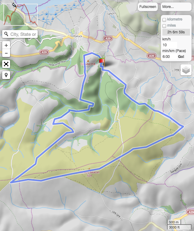
Take the South West Coast Path W from Minehead (Landranger181/SS969471). At Selworthy, drop S around switchbacks to Lynch. Take lanes and BW S to Horner, then N and NW around Crawter Hill. Follow the BW around Ley Hill into Horner Wood and drop to Horner Water. Climb to Stoke Pero, L to the T-junction then R to SS860411. Now climb to the summit. Keep SA (NE) to Brockwell and keep R to Wootton Courtenay. At Ranscombe take forest tracks to the trig. Now follow BW N back into Minehead.
GPS download po.st/Dunkery
Great Pinseat, Yorkshire Dales
29km (19 miles)
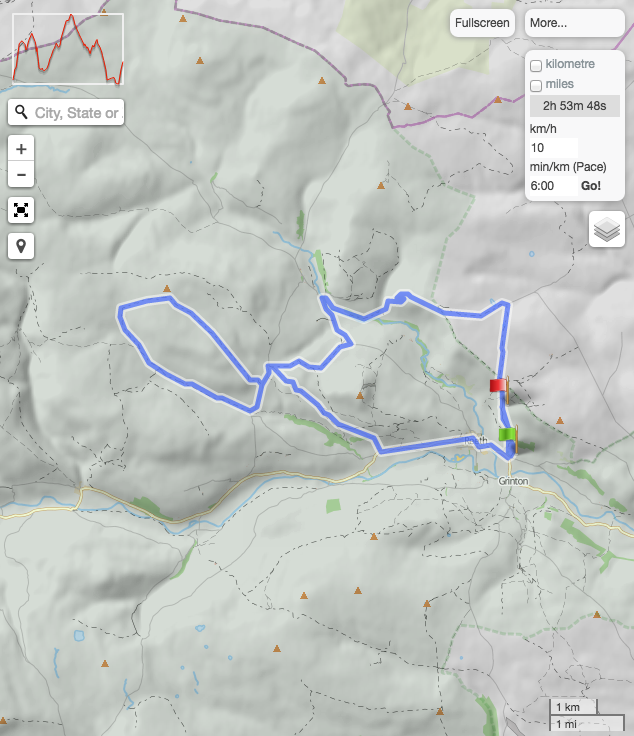
At 583m, this is lowest of our summits featured here. But it’s still a peach — a wild moonscape surrounded by heather moors. From Dales Bike Centre (Landranger 98/SE046988) climb N to Fremington Edge and continue to Hurst. Now head W to enjoy an epic descent to Langthwaite. Take the road S for 1.5km, then BW W and road then more BW NW to the summit. Descend W then SE down Hard Level Gill. Take road N for 1.3km, to briefly join outward route. Then BW SE to Healaugh and road to finish.
GPS download po.st/GreatPinseat
Mount Keen, Scotland
52km (32 miles)
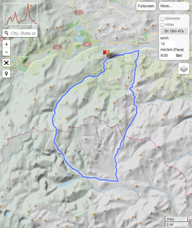
GPS download po.st/MountKeen
The tallest (939m) of our selection of summits is the toughest to get to. From the car park in Glen Tanar (Landranger 44/NO480965), head E to Birsemore and then take the Fungle Road, climbing S, then dropping past Birse Castle and then up again then down again to Tarfside. Now head W up Glen Mark on a broad track then break NW then N to the summit. Descend NW then N on the Mounth Road into Glen Tanar, then follow this down through the estate.